


Topographic Survey Data Analysis & Interpretation
Analyze survey data, validate contours, and document site constraints
What You Can Do
You can systematically analyze raw XYZ survey coordinates to identify meaningful patterns, validate data quality, and detect surveying errors before they impact design phases. This skill helps you interpret slope gradients, drainage patterns, and terrain complexity while generating constraint reports that communicate site limitations to design teams. You'll produce professional topographic analyses that reveal drainage zones, stability issues, and access constraints invisible in raw measurements.
Features
identifies spike points, datum misalignments, and data quality issues in raw survey datasets
verifies contour line accuracy and spacing against original measurements for professional-grade output
calculates gradient percentages and categorizes terrain steepness for design feasibility assessment
identifies swales, flow paths, and potential erosion zones from elevation data
generates reports of critical limitations affecting construction access, grading, and foundation placement
distinguishes and catalogs critical elevation features including building pads, utilities, and property boundaries
enables pre- and post-construction survey comparison for cut/fill quantification
formats topographic interpretations with visual hierarchies and technical annotations for stakeholder meetings
Example Output
Example 1: Slope Stability Report
- North slope: 18% gradient, vegetation present, low erosion risk
- South face: 34% gradient, exposed soil, recommend stabilization
- Building pad area: 2–4% slope, adequate drainage direction confirmed
Example 2: Site Constraint Summary
- Access limitation: eastern ravine prevents vehicle approach; recommend northern route via existing ridge
- Drainage concern: natural depression near proposed foundation collects runoff; requires cut-and-fill mitigation
- Utility coordination: breakline analysis reveals 0.8m datum shift at utility corridor; requires verification with as-built records
Example 3: Contour Validation Report ✓ 2-foot contour interval verified against 847 survey points ✓ No spike points detected in horizontal plane ⚠ Minor datum discrepancy (±0.3 ft) identified at benchmarks 4–6; recommend recalibration
What's Included
- SKILL.md instruction file with systematic analysis workflow:
- Survey data checklist: validation steps for coordinate verification and datum confirmation
- Topographic interpretation framework: structured analysis sequence (data validation → slope calculation → pattern identification → constraint documentation)
- Slope analysis template: gradient calculation worksheet with gradient classification categories
- Site constraint report template: markdown format for documenting access limitations, drainage patterns, and design impacts
Who It's For
- Land surveyors and survey technicians analyzing raw field measurements for site development projects
- Civil engineers and site planners needing topographic constraint documentation for design feasibility studies
- Geotechnical engineers assessing slope stability and drainage implications from elevation data
- Construction managers interpreting site constraints before equipment mobilization and grading operations
- Project managers and stakeholders requiring professional topographic analyses for client presentations
Best For
- Converting raw XYZ coordinates into validated contour maps with error detection
- Identifying drainage patterns, swales, and erosion zones from elevation data
- Detecting surveying errors and datum misalignments before design phase impacts
- Generating site constraint reports that communicate terrain limitations to design teams
- Calculating cut/fill volumes from pre- and post-construction survey comparisons
- Analyzing slope gradients and terrain complexity for construction feasibility assessment
You might also like

Query your local Screenpipe instance to retrieve screen recordings, audio transcriptions, UI element accessibility trees, keyboard/mouse input logs, and productivity analytics. You can search by keywords, filter by content type (audio, OCR, accessibility, input), set time ranges, and extract structured data about your applications, meetings, and work sessions without sending data to external servers.
 by az9713
You can submit architectural design documents, floor plans, and project parameters to receive a comprehensive compliance analysis that cross-references IBC, local amendments, zoning ordinances, and ADA accessibility requirements. Claude identifies specific gaps, cites applicable code sections, explains why each gap matters, and provides concrete remediation strategies—all before formal design review submission when corrections are costly and schedule-impacting.
by az9713
You can leverage Claude to synthesize regional seismic hazard data from authoritative sources (USGS maps, published studies), interpret probabilistic versus deterministic earthquake scenarios, and analyze how site conditions modify ground motions. Claude helps you justify seismic design parameters to clients and regulators, evaluate liquefaction and earthquake-induced landslide risks, and develop defensible recommendations aligned with ASCE 7 and current guidelines—accelerating report preparation without replacing specialized geotechnical software.
by az9713
You systematically evaluate your internal developer platform across dimensions like onboarding, deployment, tooling, and documentation to identify quantifiable friction points. Claude analyzes your platform's usability, creates a friction scoring matrix, and generates a prioritized improvement roadmap ranked by team impact and implementation effort. You get a data-driven strategy to reduce developer toil and accelerate delivery.
by az9713
You can conduct rigorous architectural design reviews that verify compliance with building codes, accessibility standards, energy regulations, and client requirements. The skill produces evidence-based, severity-ranked findings with specific remediation recommendations and regulatory citations, enabling you to identify issues before design phase submission or construction document preparation.
by az9713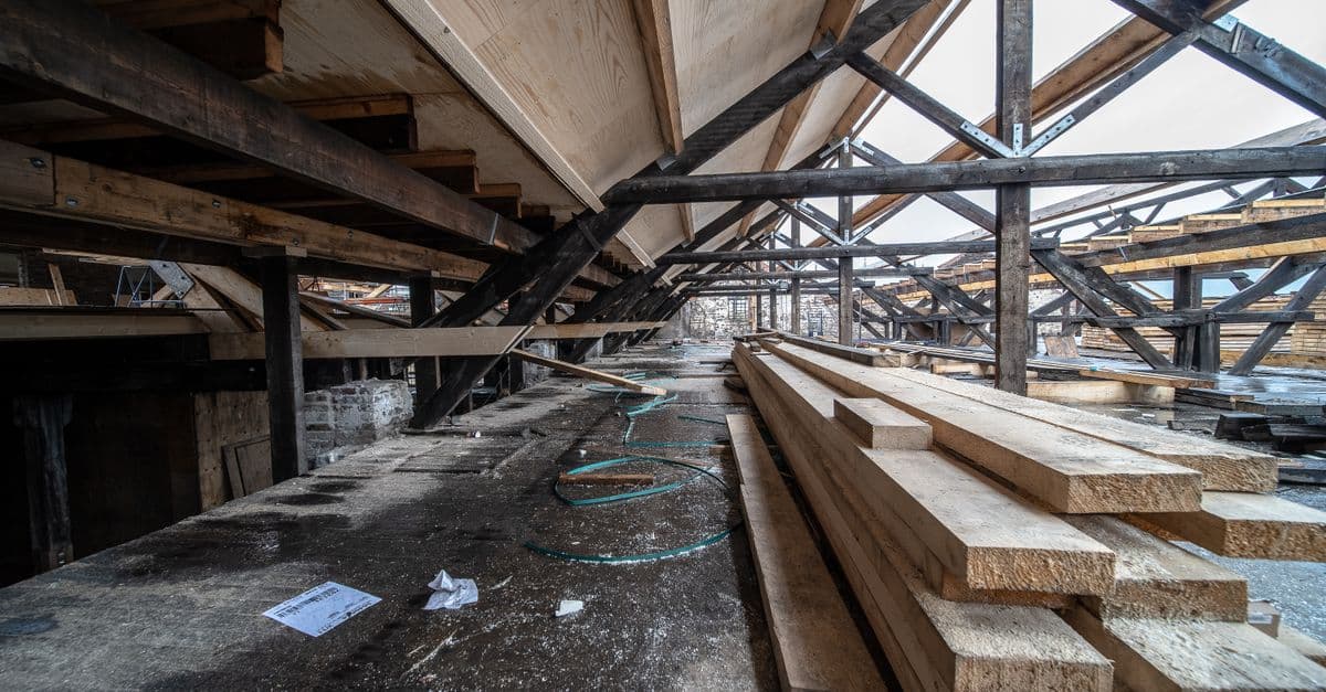
This skill enables you to rapidly produce structural analyses for timber members, including bending, shear, compression, and combined stress calculations. You can determine lateral load capacity for shear walls, design connections, evaluate code compliance against NDS standards, assess serviceability limits, and generate calculation frameworks suitable for permit submission and engineer stamping.
by az9713
Design earth retention systems by inputting soil properties, site geometry, and regulatory requirements. Claude calculates lateral earth pressures using Coulomb, Rankine, and Mononobe-Okabe methods, verifies factors of safety for internal and external stability, compares competing retention concepts (gravity walls, cantilever, anchored, sheet-pile, soil-nail), and generates cost-benefit analysis and regulatory documentation packages ready for permit submission.
by az9713
You can accelerate HVAC design workflows by inputting building parameters—envelope characteristics, occupancy data, climate conditions, and existing systems—and receiving calculated heating/cooling loads, equipment sizing recommendations, and zone-by-zone analysis. Claude organizes complex building data into actionable design parameters and specification summaries for client review, permit submission, and professional validation against ASHRAE and ACCA standards.
by az9713