

Erosion Control Plan Analyzer
Analyze sites and generate comprehensive erosion control plans with BMP specs
What You Can Do
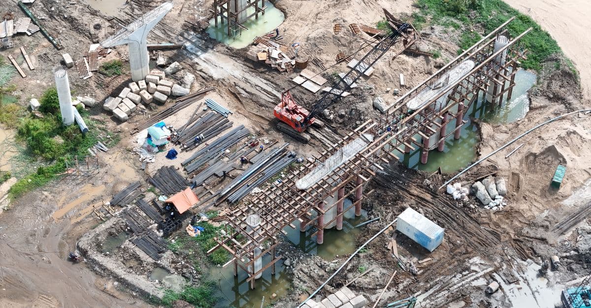
You can analyze site topography, soil characteristics, hydrology, and regulatory requirements to develop site-specific erosion control plans that justify BMP selections and implementation sequences. The skill evaluates exposure duration, runoff potential, receiving water sensitivity, and compliance frameworks to generate phased erosion control strategies that minimize environmental impact while meeting NPDES, state, and local requirements.
Features
Systematically evaluates topography, soil erodibility, slope gradients, and hydrologic characteristics to identify erosion risk factors
Recommends appropriate Best Management Practices with sizing parameters, installation details, and performance expectations matched to site conditions
Creates phased erosion control schedules aligned with construction phases, seasonal windows, and critical timing constraints
Generates regulatory compliance documentation mapping site conditions to NPDES permit requirements and local erosion control ordinances
Evaluates alternative BMP combinations to identify cost-optimized erosion control strategies without compromising performance
Calculates detention volume requirements based on drainage area, soil type, and storm frequency standards
Specifies inspection frequencies, maintenance procedures, and performance verification requirements for implemented controls
Produces defensible engineering justifications for regulatory submissions, permit applications, and compliance inspections
Example Output
Example 1 — Grading Phase BMP Strategy:
- Site: 15-acre mixed-use development, 8% average slope, silty clay soil, 500-ft proximity to trout stream
- Analysis identifies high erosion risk during grading phase; recommends sediment basin (2.3 acre-ft), silt fence perimeter (6,200 lf), inlet sediment filters, and dust control (soil tackifier). Phasing prioritizes grading by watershed quadrant with 2-week interval for establishment.
Example 2 — Compliance Matrix for Permit Submission:
- SWPPP table cross-referencing site phase (clearing, grading, building construction), erosion potential (high/medium), applicable BMPs (sediment basin, stabilized construction entrance, perimeter controls), sizing calculations, and maintenance frequency—formatted for agency review.
Example 3 — Seasonal Implementation Schedule:
- Grading restricted to May–September window; recommends advance installation of sediment basin (April), phased perimeter controls (May), and temporary seeding (August). Documents weather constraints and contingency stabilization measures.
What's Included
- SKILL.md instruction file with erosion control analysis framework:
- Site Condition Assessment checklist (topography, soils, hydrology, regulatory triggers):
- BMP Selection matrix (practice types, sizing formulas, applicability by condition):
- SWPPP template with permit compliance mapping:
- Implementation Phasing schedule template aligned to construction sequencing:
- Sediment basin sizing worksheet (runoff coefficient method, storm frequency standards):
Who It's For
- Environmental Engineers designing erosion control strategies for construction projects
- Civil Engineers developing SWPPPs for permit applications
- Project Managers sequencing construction phases with environmental controls
- Regulatory Compliance Specialists documenting BMP rationale for agency review
- Site Superintendents implementing erosion control measures during active construction
Best For
- SWPPP (Stormwater Pollution Prevention Plan) development and permit applications
- Preliminary erosion control strategy design during site assessment phase
- Phased construction erosion control alignment across multiple phases
- BMP cost-effectiveness analysis and optimization
- Design rationale documentation for regulatory submissions and inspections
- Sediment basin and stormwater detention sizing calculations
You might also like

Query your local Screenpipe instance to retrieve screen recordings, audio transcriptions, UI element accessibility trees, keyboard/mouse input logs, and productivity analytics. You can search by keywords, filter by content type (audio, OCR, accessibility, input), set time ranges, and extract structured data about your applications, meetings, and work sessions without sending data to external servers.
 by az9713
You can submit architectural design documents, floor plans, and project parameters to receive a comprehensive compliance analysis that cross-references IBC, local amendments, zoning ordinances, and ADA accessibility requirements. Claude identifies specific gaps, cites applicable code sections, explains why each gap matters, and provides concrete remediation strategies—all before formal design review submission when corrections are costly and schedule-impacting.
by az9713
You can leverage Claude to synthesize regional seismic hazard data from authoritative sources (USGS maps, published studies), interpret probabilistic versus deterministic earthquake scenarios, and analyze how site conditions modify ground motions. Claude helps you justify seismic design parameters to clients and regulators, evaluate liquefaction and earthquake-induced landslide risks, and develop defensible recommendations aligned with ASCE 7 and current guidelines—accelerating report preparation without replacing specialized geotechnical software.
by az9713
You systematically evaluate your internal developer platform across dimensions like onboarding, deployment, tooling, and documentation to identify quantifiable friction points. Claude analyzes your platform's usability, creates a friction scoring matrix, and generates a prioritized improvement roadmap ranked by team impact and implementation effort. You get a data-driven strategy to reduce developer toil and accelerate delivery.
by az9713
You can conduct rigorous architectural design reviews that verify compliance with building codes, accessibility standards, energy regulations, and client requirements. The skill produces evidence-based, severity-ranked findings with specific remediation recommendations and regulatory citations, enabling you to identify issues before design phase submission or construction document preparation.
by az9713
You can quantify seismic vulnerability for existing buildings and new designs by calculating demand-capacity ratios, generating fragility curves, and performing nonlinear pushover analysis. This framework integrates response spectrum analysis with probabilistic seismic hazard evaluation to produce cost-effective retrofit strategies that meet specific performance objectives (Immediate Occupancy, Life Safety, Collapse Prevention) and align with current code standards like ASCE 41 and ASCE 7.
by az9713
This skill enables you to rapidly produce structural analyses for timber members, including bending, shear, compression, and combined stress calculations. You can determine lateral load capacity for shear walls, design connections, evaluate code compliance against NDS standards, assess serviceability limits, and generate calculation frameworks suitable for permit submission and engineer stamping.
by az9713
You can accelerate HVAC design workflows by inputting building parameters—envelope characteristics, occupancy data, climate conditions, and existing systems—and receiving calculated heating/cooling loads, equipment sizing recommendations, and zone-by-zone analysis. Claude organizes complex building data into actionable design parameters and specification summaries for client review, permit submission, and professional validation against ASHRAE and ACCA standards.
by az9713