

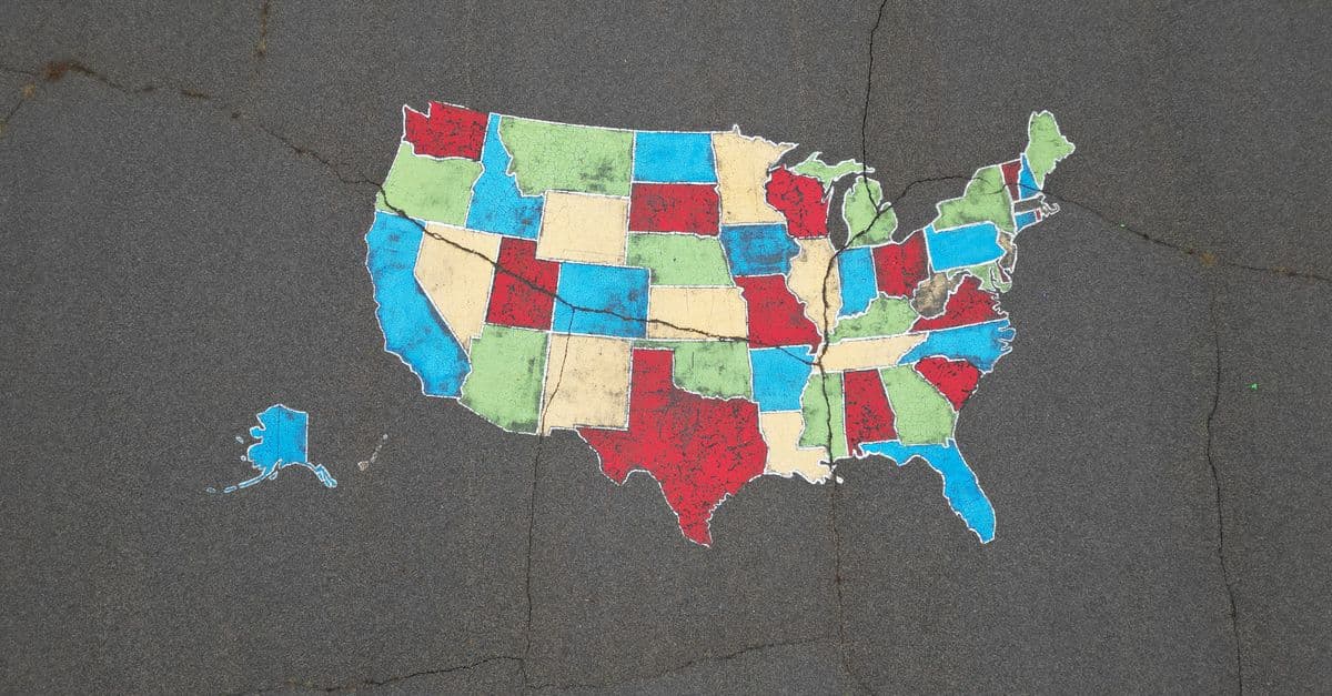
Thematic Map Design Optimization for Cartographers
Design and validate thematic maps using cartographic best practices and data science

What You Can Do
You can create defensible thematic map designs by working through systematic decisions on data classification, color palettes, symbolization, and visual hierarchy. Claude helps you evaluate your design choices against cartographic standards, ensure accessibility across print and digital formats, and document your rationale for stakeholders. Whether you're mapping population density, income distribution, disease prevalence, or infrastructure networks, this skill ensures your thematic maps effectively communicate spatial patterns to your target audience.
Features
Choose appropriate classification methods (equal interval, quantile, natural breaks, jenks) based on your data distribution and analytical goals
Generate accessible, perceptually uniform color schemes that work in print, digital, and colorblind-friendly contexts
Assess figure-ground relationships, contrast ratios, and symbol sizing to ensure your thematic variable stands out
Document design standards and review consistency across choropleth, proportional symbol, and heat map series
Apply cartographic conventions tailored to planners, analysts, policymakers, or public stakeholders
Evaluate designs against WCAG standards and cartographic accessibility guidelines for colorblind viewers
Generate defensible explanations of classification schemes, color choices, and symbolization for regulatory approval or stakeholder review
Example Output
Example 1: Choropleth Classification Review
- Data: Median household income by census tract
- Current method: Equal interval (0–$30k, $30–60k, $60–90k, $90k+)
- Claude feedback: Natural breaks or quantile better shows clustering; equal interval masks meaningful variation
- Recommendation: Jenks natural breaks produces 5 classes with 35%, 28%, 22%, 10%, 5% distribution
Example 2: Color Palette Validation
- Thematic variable: Population density (continuous)
- Proposed palette: Green-to-red sequential
- Issues identified: Red implies danger; difficult for deuteranopia viewers
- Alternative: Viridis sequential palette (yellow-to-purple) passes WCAG AA contrast standards and colorblind tests
Example 3: Multi-Map Design Brief
- Series: 5 maps showing decade-by-decade housing affordability change (1980–2020)
- Standards documented: Consistent class breaks across all decades, unified color scheme, matching legend placement, annotation guidelines
- Validation: All maps tested for visual consistency and colorblind accessibility
What's Included
- SKILL.md instruction file with cartographic decision frameworks and validation checklists:
- Data Classification Reference Table: comparison matrix of equal interval, quantile, natural breaks, and Jenks methods with use cases
- Color Palette Testing Checklist: perceptual uniformity, accessibility compliance (WCAG AA/AAA), print and colorblind simulation requirements
- Thematic Map Design Validation Worksheet: document classification rationale, color choices, symbolization rules, and audience considerations
- Multi-Map Series Standards Template: maintain consistency across choropleth, proportional symbol, and heat map projects
Who It's For
- Urban planners designing land-use, zoning, or development constraint maps
- GIS analysts and cartographers creating thematic maps for public agencies or research
- Policy researchers mapping health disparities, environmental justice, or socioeconomic indicators
- Infrastructure planners visualizing network patterns, service coverage, or vulnerability
- Municipal data teams producing accessible maps for public-facing dashboards or reports
Best For
- Creating choropleth maps with defensible classification schemes
- Designing color palettes that pass accessibility and reproduction standards
- Validating visual hierarchy and figure-ground relationships
- Documenting design rationale for stakeholder approval or regulatory compliance
- Ensuring consistency across multi-map atlases and time-series analyses
- Evaluating thematic maps against cartographic best practices before publication
You might also like
You can conduct comprehensive land use compatibility assessments that identify vertical and horizontal conflicts between proposed developments and surrounding uses. The skill helps you evaluate zoning compliance, assess adjacency impacts, document regulatory alignment, and develop evidence-based mitigation strategies that withstand planning commission and city council scrutiny.

You can synthesize coastal datasets (tide gauges, LIDAR, bathymetry, historical shorelines) to quantify erosion trends and sea-level rise impacts. Claude builds deterministic and probabilistic inundation projections, assesses infrastructure vulnerability, and translates technical analysis into policy-relevant findings that satisfy state coastal zone management and NEPA/CEQA compliance requirements for development approvals and adaptation investments.

This skill structures the variance analysis process to ensure consistency, reduce bias, and create audit trails that justify approvals or denials based on established legal standards. You'll generate comprehensive reports that document substantial difficulty claims, unique circumstances, hardship justifications, and condition frameworks that withstand administrative review and potential legal challenge.
You can systematically design spatial analysis workflows that integrate vector data (zoning boundaries, infrastructure networks, parcel geometries) with raster datasets (elevation models, land use classifications, accessibility surfaces). The skill provides validation protocols to identify data resolution conflicts, projection misalignments, overlay logic errors, and output specification issues before analysis execution. You'll communicate complete analysis specifications to technical teams and stakeholders with confidence that the workflow methodology is sound.

You can identify slow spatial queries, analyze PostGIS execution plans, design optimal spatial indexes (GIST, BRIN, SP-GIST), and restructure database schemas for efficient land use analysis, zoning verification, and infrastructure mapping. This skill helps you troubleshoot why intersection queries timeout, optimize buffer operations on large feature classes, and accelerate web mapping service delivery without requiring application code changes.

You can systematically design engagement strategies that move beyond checkbox consultation to genuine stakeholder co-creation. Claude helps you develop structured dialogue frameworks, identify underlying community concerns versus stated objections, anticipate conflicts between community priorities and project feasibility, and create communication materials that resonate across diverse education levels, languages, and media preferences. This skill guides you through multi-phase engagement planning, equity-focused participation design, and documentation of engagement quality for municipal approvals.

You can systematically evaluate existing transit networks to quantify performance gaps, forecast demand patterns under different scenarios, and develop optimization strategies backed by data. The skill helps you identify underperforming corridors, model service changes before implementation, pinpoint infrastructure gaps, and build stakeholder-ready arguments for transit investment decisions with supporting analysis.

Transform violation complaints and site inspection data into standardized, defensible enforcement documentation. You can rapidly assess violation severity, establish reasonable remediation timelines, prioritize enforcement actions across multiple violations, and generate compliance agreements that protect jurisdictional authority. The skill structures your analysis to create documentation suitable for both negotiated compliance and formal enforcement proceedings.