


Coastal Erosion & Storm Surge Impact Assessment for Planning Decisions
Model coastal erosion and storm surge impacts for development planning decisions

What You Can Do
You can synthesize coastal datasets (tide gauges, LIDAR, bathymetry, historical shorelines) to quantify erosion trends and sea-level rise impacts. Claude builds deterministic and probabilistic inundation projections, assesses infrastructure vulnerability, and translates technical analysis into policy-relevant findings that satisfy state coastal zone management and NEPA/CEQA compliance requirements for development approvals and adaptation investments.
Features
organize tide gauges, LIDAR, bathymetry, and historical shoreline datasets into defensible analytical inputs
calculate linear regression trends and confidence intervals from historical shoreline positions
project inundation zones under deterministic and probabilistic sea-level rise scenarios (RCP 4.5/8.5 pathways)
identify exposure of roads, utilities, wastewater facilities, and critical infrastructure to chronic and acute coastal hazards
generate impact assessment sections meeting state coastal zone management standards and NEPA/CEQA procedural requirements
translate technical results into policy summaries and visualizations for elected officials and community presentation
model effectiveness of nature-based (wetland restoration, living shorelines) and engineered protection measures (seawalls, beach nourishment)
Example Output
Example 1: Erosion Rate Summary
- Historical shoreline retreat (1950–2020): 1.2 ± 0.3 m/year (95% CI)
- Projected retreat by 2050 (RCP 8.5): 42–68 m landward migration
- Property at risk: 12 structures within retreat zone; 3 roads requiring relocation planning
Example 2: Storm Surge Scenario
- 100-year storm surge + 1 m sea-level rise: 2.8 m inundation elevation
- Affected area: 847 acres; 127 residential units in floodplain
- Wastewater treatment facility exposure: Electrical infrastructure at 0.4 m freeboard (inadequate)
Example 3: Regulatory Finding
- Significant cumulative impact identified (CEQA): Permanent loss of 8.2 acres coastal habitat
- Mitigation requirement: 1.3:1 salt marsh restoration or avoidance of development below 3 m elevation MSL
What's Included
- SKILL.md instruction file with step-by-step coastal analysis workflow:
- Data synthesis checklist: inventory requirements (USGS shoreline, NOAA tide gauges, state LIDAR) and quality control procedures
- Scenario modeling framework: templates for calculating erosion projections and storm surge inundation under multiple climate pathways
- Environmental impact assessment template: sections addressing significance criteria, mitigation measures, and regulatory compliance language
- Stakeholder communication toolkit: summary templates, data visualization guidance, and talking points for planning commissions and city councils
Who It's For
- Coastal/environmental planners evaluating development applications in erosion-prone zones
- Municipal/county staff preparing adaptation plans and coastal resilience grant applications
- Environmental consultants producing defensible impact assessments for regulatory agencies
- Infrastructure planners assessing vulnerability of utilities and transportation networks to sea-level rise
- Elected officials and planning commissions requiring evidence-based findings for contentious coastal development decisions
Best For
- Quantifying historical erosion trends and projecting future shoreline positions under climate scenarios
- Modeling storm surge inundation zones and assessing property/infrastructure exposure
- Generating NEPA/CEQA-compliant environmental documentation with mitigation requirements
- Evaluating effectiveness of coastal protection strategies (nature-based and engineered)
- Communicating technical coastal risk findings to non-specialist audiences (elected officials, community members)
You might also like
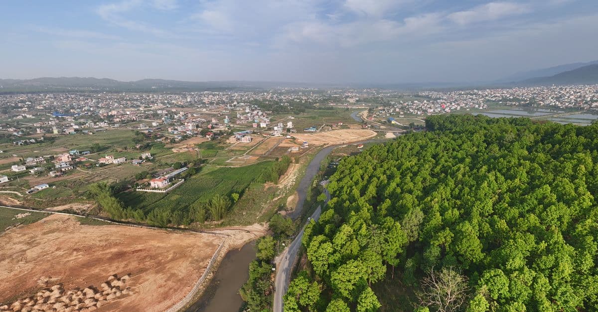
You can conduct comprehensive land use compatibility assessments that identify vertical and horizontal conflicts between proposed developments and surrounding uses. The skill helps you evaluate zoning compliance, assess adjacency impacts, document regulatory alignment, and develop evidence-based mitigation strategies that withstand planning commission and city council scrutiny.

Conduct rigorous corridor-level capacity assessments that balance competing modal demands within constrained right-of-way. You analyze existing conditions across all transportation modes, identify true capacity constraints versus perceived limitations, and generate defensible recommendations for modal reallocation—all grounded in traffic engineering principles, transit operations data, and urban design standards. This skill moves beyond single-mode optimization to deliver integrated corridor function recommendations that stakeholders can act upon.

This skill structures the variance analysis process to ensure consistency, reduce bias, and create audit trails that justify approvals or denials based on established legal standards. You'll generate comprehensive reports that document substantial difficulty claims, unique circumstances, hardship justifications, and condition frameworks that withstand administrative review and potential legal challenge.
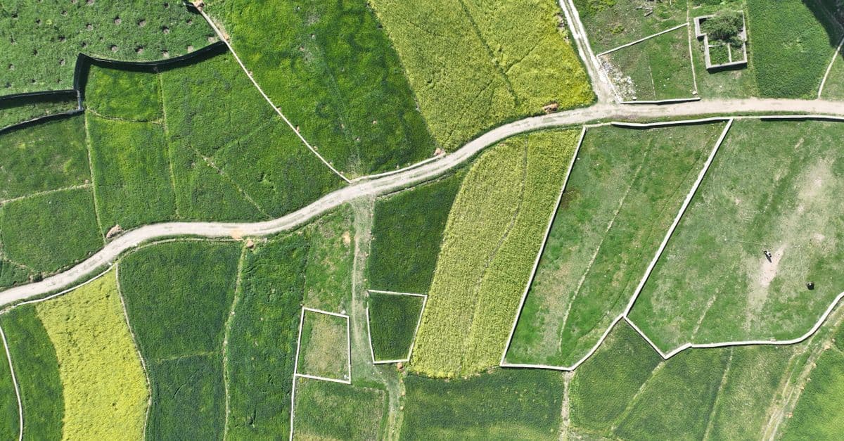
You can systematically design spatial analysis workflows that integrate vector data (zoning boundaries, infrastructure networks, parcel geometries) with raster datasets (elevation models, land use classifications, accessibility surfaces). The skill provides validation protocols to identify data resolution conflicts, projection misalignments, overlay logic errors, and output specification issues before analysis execution. You'll communicate complete analysis specifications to technical teams and stakeholders with confidence that the workflow methodology is sound.

You can identify slow spatial queries, analyze PostGIS execution plans, design optimal spatial indexes (GIST, BRIN, SP-GIST), and restructure database schemas for efficient land use analysis, zoning verification, and infrastructure mapping. This skill helps you troubleshoot why intersection queries timeout, optimize buffer operations on large feature classes, and accelerate web mapping service delivery without requiring application code changes.

You can systematically design engagement strategies that move beyond checkbox consultation to genuine stakeholder co-creation. Claude helps you develop structured dialogue frameworks, identify underlying community concerns versus stated objections, anticipate conflicts between community priorities and project feasibility, and create communication materials that resonate across diverse education levels, languages, and media preferences. This skill guides you through multi-phase engagement planning, equity-focused participation design, and documentation of engagement quality for municipal approvals.

You can systematically evaluate existing transit networks to quantify performance gaps, forecast demand patterns under different scenarios, and develop optimization strategies backed by data. The skill helps you identify underperforming corridors, model service changes before implementation, pinpoint infrastructure gaps, and build stakeholder-ready arguments for transit investment decisions with supporting analysis.

Transform violation complaints and site inspection data into standardized, defensible enforcement documentation. You can rapidly assess violation severity, establish reasonable remediation timelines, prioritize enforcement actions across multiple violations, and generate compliance agreements that protect jurisdictional authority. The skill structures your analysis to create documentation suitable for both negotiated compliance and formal enforcement proceedings.