


Residential Site Analysis & Feasibility Assessment
Analyze residential sites for design constraints, opportunities, and feasibility
What You Can Do
You'll conduct comprehensive site assessments that transform raw site data into actionable design intelligence. By synthesizing information from site visits, surveys, municipal codes, and client interviews, you'll generate structured analysis documents that quantify project viability, prevent costly redesigns, and establish shared understanding with clients. This skill is particularly valuable for complex sites with sloped terrain, drainage issues, utility conflicts, or neighborhood constraints where preliminary analysis determines project success.
Features
Systematically identify design restrictions including setbacks, easements, slope limitations, utility conflicts, and neighborhood covenants
Reveal hidden site assets such as mature tree preservation potential, solar exposure, view corridors, and natural drainage patterns
Quantify project viability across cost, timeline, regulatory, and design complexity dimensions with clear pass/fail indicators
Systematically document topography, soils, drainage, vegetation, utilities, access, and existing structures with liability protection
Compare client expectations against site realities with specific recommendations for scope adjustments or alternative approaches
Cross-reference local zoning, setback requirements, tree preservation ordinances, and stormwater regulations with site conditions
Generate analysis summaries structured for municipal reviewers, HOA boards, or skeptical clients with visual organization
Identify potential red flags (contaminated soil indicators, wetland presence, easement conflicts) and recommend investigation protocols
Example Output
Example 1: Steep Slope Constraint Analysis
- Site Grade: 18% average slope across usable area
- Retaining Wall Requirement: 6–8 ft walls needed to create buildable terrace
- Feasibility Impact: Increases budget 15–22%, extends timeline 4 weeks, eliminates certain design concepts
- Recommendation: Reorient design to work with contours rather than against; explore tiered planting strategy
Example 2: Utility Conflict Assessment
- High-voltage transmission line crosses northeast corner (100 ft setback required)
- Gas/sewer main runs along south property line (8 ft clearance for access)
- Findings: Reduces usable garden area by ~25%, eliminates pool placement in preferred location
- Alternative: Shift program elements northward; reposition hardscape to accommodate utility access
Example 3: Feasibility Scorecard
| Dimension | Score | Status | Notes |
|---|---|---|---|
| Regulatory | 8/10 | Green | Zoning compliant; tree ordinance adds 3-week review |
| Drainage | 5/10 | Yellow | Poor surface drainage; requires subsurface investigation |
| Cost | 7/10 | Green | Site prep moderate; no major hazmat concerns detected |
| Timeline | 6/10 | Yellow | Municipal review + soil testing = 8-week front end |
| Overall | 6.5/10 | Proceed with caution | Viable project; requires soil confirmation before finalizing scope |
What's Included
- SKILL.md: Complete instruction file with methodology framework
- Site Analysis Checklist: Comprehensive field assessment template covering topography, drainage, utilities, vegetation, access, and constraints
- Feasibility Scoring Matrix: Quantification framework for regulatory, cost, timeline, and design complexity dimensions
- Constraints & Opportunities Mapping Template: Structured format for documenting site limitations and assets with visual hierarchy
- Client Alignment Worksheet: Side-by-side comparison tool for reconciling client expectations with site realities
- Municipal Code Cross-Reference Guide: Template for integrating local zoning, setbacks, and preservation ordinances
- Stakeholder Presentation Framework: Summary structure for presenting findings to municipal reviewers, HOAs, or client teams
Who It's For
- Landscape Architects — Conducting initial site assessments before concept design development
- Residential Designers — Evaluating site constraints to inform master planning and program placement
- Project Managers — Establishing consistent assessment protocols across project portfolios
- Civil Engineers — Documenting existing conditions and identifying infrastructure constraints early
- Real Estate Developers — Assessing site feasibility and identifying risk before acquisition or design investment
Best For
- Complex residential sites with topographic or utility challenges requiring systematic evaluation
- Projects where client expectations are misaligned with site realities and need reality-grounding documentation
- Feasibility assessments for municipal or HOA review before advancing to schematic design
- Multi-project portfolios where you need consistent, repeatable assessment methodologies
- Liability documentation when inheriting projects with unclear existing conditions or previous assumptions
You might also like

Query your local Screenpipe instance to retrieve screen recordings, audio transcriptions, UI element accessibility trees, keyboard/mouse input logs, and productivity analytics. You can search by keywords, filter by content type (audio, OCR, accessibility, input), set time ranges, and extract structured data about your applications, meetings, and work sessions without sending data to external servers.
 by az9713
This skill automates the detailed calculations required for electrical system design, converting connected loads to demand loads, sizing conductors and equipment per NEC standards, and analyzing voltage drop across feeders and branch circuits. You input project parameters and receive complete load schedules, equipment recommendations with ampacity ratings, conductor specifications, and code citations—eliminating manual calculation errors and enabling faster design iterations for permit-ready documentation.
by az9713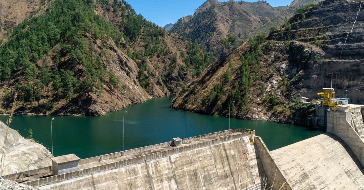
You can conduct comprehensive slope stability analyses that integrate site characterization, soil/rock properties, and quantitative calculations to evaluate both simple and complex slope geometries. The framework helps you identify critical failure mechanisms, calculate safety factors, assess groundwater and seismic effects, and develop technically defensible remediation recommendations suitable for permitting, design decisions, and stakeholder communication.
by az9713
You can systematically design test cases for any feature or system by analyzing requirements or code to extract test parameters, values, and business constraints. The skill generates a PICT model, executes pairwise testing logic to minimize test case count while maximizing coverage, and delivers a formatted test matrix with expected results—reducing manual test design effort while ensuring comprehensive scenario coverage.
by az9713
This skill deconstructs your writing samples to identify the specific patterns, personality markers, emotional range, language quirks, and formatting habits that make your voice uniquely yours. You'll receive a detailed voice DNA profile that includes your core communication style, signature phrases, emotional tone, formality level, and what you actively avoid—creating a blueprint that AI systems can use to replicate your authentic voice consistently across projects, platforms, and content types.
by az9713
You can decompose complex timber structures into analyzable load paths, trace forces from applied loads through members to supports, and calculate governing demands for each structural element. This skill helps you identify critical design points, apply appropriate load factors and duration adjustments, and create defensible design documentation that satisfies code officials and peer reviewers.
by az9713
You can compare building materials across embodied carbon, water usage, recyclability, supply chain impacts, and lifecycle costs—all grounded in industry standards like EN 15804 and ISO 14040/44. This skill transforms material selection from intuition-based guessing into data-driven specification, producing analysis outputs ready for client presentations, value engineering discussions, and regulatory compliance documentation.
by az9713
You can accelerate HVAC design workflows by inputting building parameters—envelope characteristics, occupancy data, climate conditions, and existing systems—and receiving calculated heating/cooling loads, equipment sizing recommendations, and zone-by-zone analysis. Claude organizes complex building data into actionable design parameters and specification summaries for client review, permit submission, and professional validation against ASHRAE and ACCA standards.
by az9713