

Real-Time Wellsite Geological Interpretation
Interpret core samples, cuttings, and wireline logs in real-time during drilling operations
What You Can Do
You can process cuttings samples, core descriptions, wireline logs, and offset well data simultaneously to identify formation boundaries, detect unexpected lithology, and generate actionable drilling recommendations within 15–30 minutes. The skill cross-validates disparate data sources to confirm formation picks, mitigates drilling delays that cost $1M+/day on deepwater rigs, and produces audit-compliant documentation of stratigraphic decisions made in real time.
Features
Rapidly process cutting descriptions (lithology, color, paleontology) to identify formation transitions and expected depth windows
Correlate real-time LWD (Logging While Drilling) data—gamma ray, resistivity, density—with cuttings and core samples for formation confirmation
Pinpoint formation contacts with depth precision and confidence levels; flag unexpected transitions requiring immediate wellsite action
Compare actual wellbore geology against nearby offset wells to refine stratigraphic model and detect lateral facies changes
Tie unexpected drilling behavior (torque, weight-on-bit response, rate-of-penetration changes) to formation transitions and geomechanics
Generate go/no-go decisions and recommend optimal casing depths based on formation character, pressure trends, and wellbore stability
Create audit-ready formation picks, depth correlations, and stratigraphic reasoning that survive post-well review and regulatory scrutiny
Example Output
Example 1: Unexpected Shale Encountered
Input: Cuttings sample at 2,847m TVD shows increased clay content, dark gray-brown color, and reworked foraminifera. LWD gamma ray spiking 120 API (vs. 70 API in overlying sand). Prognosis predicted shale contact at 2,895m.
Output:
- Formation Pick: Shale contact identified at 2,847m TVD (±10m confidence interval)
- Interpretation: Early shale entry suggests structural dip increase or erosional truncation vs. offset Well-A (shale at 2,891m); thinned section
- Action: Recommend log interval adjustment from 50m to 25m spacing; prepare casing contingency at 2,900m rather than 2,950m planned depth
- Risk: Sand thinning detected; monitor for pay zone bypass—confirm with next wireline pass
Example 2: ROP Decrease at Formation Boundary
Input: ROP drops from 45 m/h to 18 m/h at 3,201m TVD. Cuttings show transition from fine sand to silt-clay mix. Offset logs show pressure/competency increase at equivalent depth. LWD density increases from 2.25 to 2.35 g/cc.
Output:
- Formation Pick: Upper shale (Fm-X) contact at 3,201m TVD
- Interpretation: ROP decline consistent with pore-pressure increase and competency change; no drilling hazard signal in equivalent offset interval
- Action: Maintain WOB/RPM; expect stabilized ROP 20–25 m/h in shale section. Continue normal drilling parameters.
- Confidence: High (3/3 data streams aligned: cuttings lithology, wireline density, offset behavior match)
What's Included
- SKILL.md: Core instruction file with real-time interpretation workflow and decision logic
- Cuttings Analysis Template: Structured checklist for rapid lithology/paleontology logging from samples
- Wireline Log Correlation Worksheet: Quick-reference matrix linking gamma ray, resistivity, density spikes to formation transitions
- Formation Pick Documentation Frame: Audit-ready format for recording depth, confidence, reasoning, and wellsite actions
- Offset Well Comparison Checklist: Side-by-side template for comparing actual geology against nearby wells to detect facies changes and structural anomalies
Who It's For
- Wellsite Geologists — Managing real-time formation identification and casing-point decisions during active drilling operations
- Geosteering Engineers — Optimizing horizontal wellbore placement by integrating surface geology with LWD data and offset correlations
- Well Placement Specialists — Refining lateral drilling paths to stay in pay zones using rapid formation boundary updates
- Drilling Engineers — Correlating drilling parameter changes (torque, ROP, WOB) to geological events for wellbore stability and efficiency decisions
- Operations Geologists — Supporting remote rig teams with rapid formation interpretation and drilling recommendations in near-real-time
Best For
- Formation Boundary Identification — Pinpointing casing points and formation contacts within ±10m TVD depth precision during connections
- Cuttings-to-Wireline Synthesis — Cross-validating disparate data streams to confirm formation picks and detect interpretation conflicts
- Unexpected Geology Response — Rapid analysis when cuttings or drilling parameters diverge from prognosis (lithology change, pressure transition, structural shift)
- Offset Well Correlation — Comparing actual wellbore geology to nearby wells to refine stratigraphic model and detect lateral facies variation
- Drilling Decision Support — Go/no-go assessments for casing depths, ROP adjustments, logging intervals, and wellbore stability concerns in <30 minutes
You might also like
You can rapidly integrate multi-parameter geochemical datasets—Rock-Eval pyrolysis, biomarker distributions, stable isotopes, and molecular compositions—into coherent petroleum system interpretations. The skill transforms raw analytical parameters (Tmax, S2, biomarker ratios, δ13C values) into subsurface understanding of source rock potential, thermal history windows, depositional environments, and charge timing relative to trap formation. You'll identify thermal maturity stages, distinguish multiple source intervals in multi-sourced basins, and flag analytical anomalies that suggest contamination or stratigraphic mixing.
 by delphine-l
You can input well geometry, drilling fluid properties, and operational parameters to rapidly calculate equivalent circulating density (ECD), analyze pressure profiles, and identify hydraulic risks. Claude evaluates mud weight windows, predicts circulation losses, and recommends flow rate and fluid property adjustments to maintain wellbore stability while minimizing nonproductive time during complex well sections.
by delphine-l
You can analyze pressure buildup and drawdown test data to identify flow regimes, apply type curve matching techniques to estimate reservoir properties, and conduct material balance studies to quantify original oil/gas in place (OOIP/OGIP). Claude helps you evaluate pressure support mechanisms, generate production forecasts under different depletion scenarios, and assess reserve uncertainty from pressure interpretation data.
by delphine-l
You can perform comprehensive wellbore hydraulics analysis by inputting well geometry, fluid properties, and operational parameters. Claude calculates pressure drops across open hole and cased hole sections, determines equivalent circulating density (ECD) for narrow margin windows, identifies flow regime transitions, and provides optimization recommendations that balance ROP, hole cleaning, and well control margins. This enables you to validate designs, troubleshoot pressure anomalies, and make data-driven adjustments to flow rates and drilling fluid specifications before issues impact operations.
by delphine-l
You can systematically interpret sedimentary facies from core descriptions, wireline logs, and outcrop data to build coherent paleoenvironmental models. This skill helps you classify lithofacies and ichnofacies, recognize recurring depositional patterns, correlate stratigraphic intervals across multiple wells, and predict reservoir quality and geometry based on depositional systems. You'll move beyond simple lithologic logging to derive interpretations that directly support exploration risking, play fairway mapping, and field development planning.
by delphine-l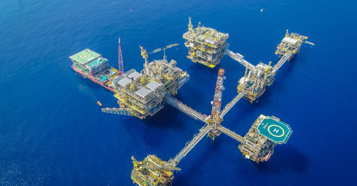
You can analyze production performance data to distinguish between natural depletion, mechanical failures, formation damage, and flow restrictions. The skill guides you through structured diagnostic workflows that integrate production history, pressure readings, and well geometry data to pinpoint specific decline mechanisms and recommend targeted remedial actions such as acidizing, perforation optimization, or artificial lift adjustments.
by delphine-l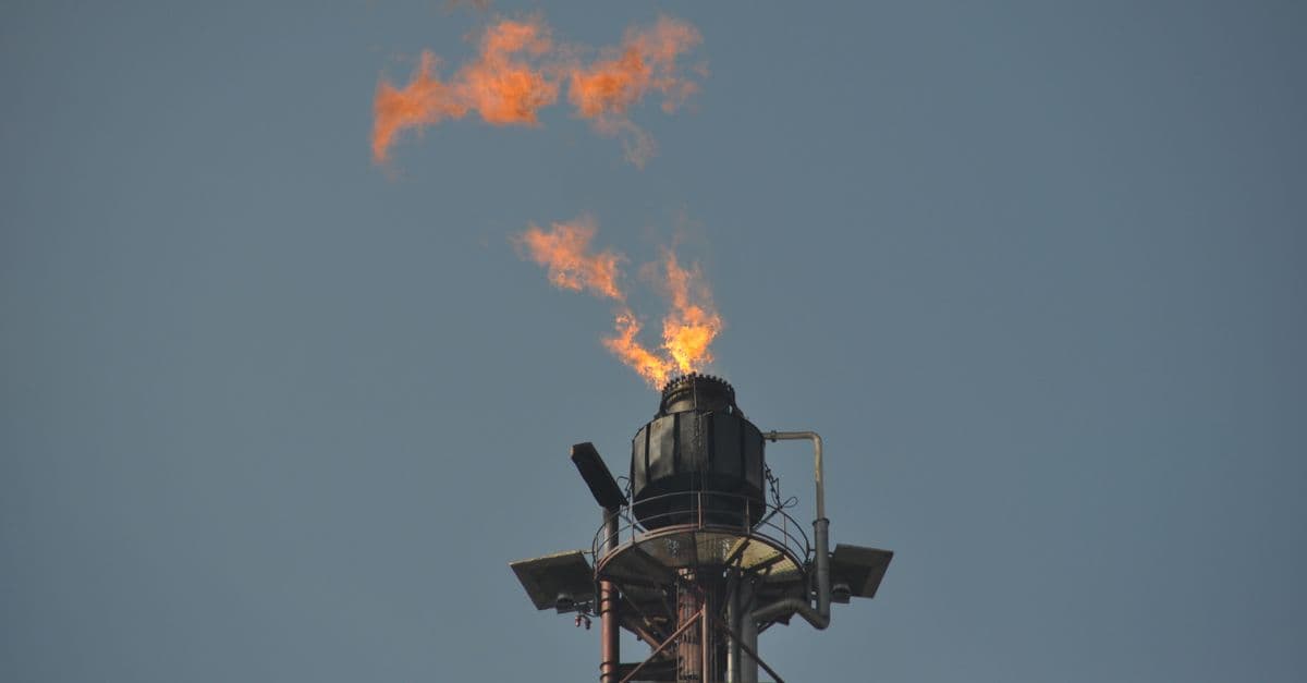
Conduct comprehensive environmental compliance audits of oil & gas facilities against EPA, state regulations, ISO 14001, RCRA, SPCC, and stormwater permit requirements. You'll document evidence systematically, correlate findings to specific regulatory requirements, identify compliance gaps with risk prioritization, and generate defensible audit documentation that supports regulatory inspections and demonstrates due diligence. The skill structures the entire audit process from planning through remediation timeline development and accountability assignment.
by delphine-l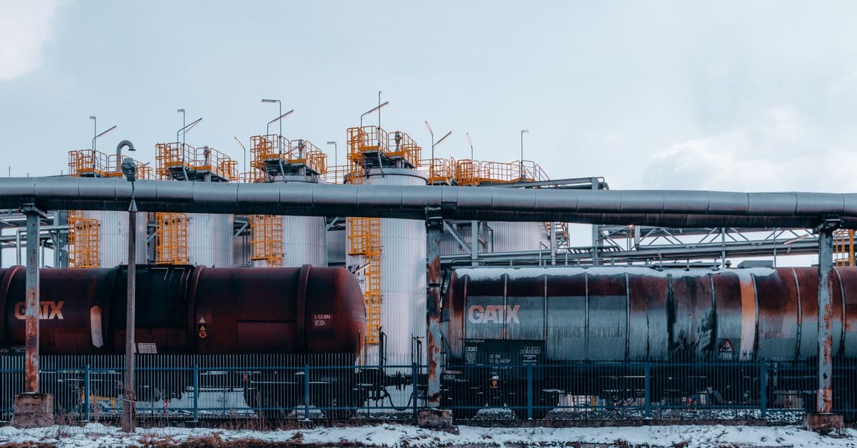
You can develop comprehensive completion strategies by evaluating formation properties, reservoir pressure regimes, and fluid characteristics against completion alternatives. The skill guides you through perforation optimization, inflow performance prediction, and completion selection trade-offs—helping you balance productivity, reliability, and economics to deliver completions that meet production targets while controlling costs and operational risk.
by delphine-l