

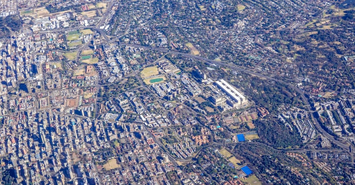
Multi-Layer Spatial Analysis Automation for GIS
Automate multi-layer spatial analysis workflows for urban planning scenarios

What You Can Do
You can systematically document and automate spatial analysis workflows that combine 4+ data layers, translating requirements into reproducible queries for overlay and buffer operations. Claude generates decision matrices linking analysis results to planning recommendations, creates defensible methodologies for public stakeholder review, and models multiple planning scenarios using the same base layers with varying criteria—all before execution in ArcGIS, QGIS, or PostGIS.
Features
translates complex spatial analysis requirements into systematic, step-by-step processes
creates reproducible queries combining raster and vector datasets
generates zonal statistics, intersection analyses, and cross-tabulation reports
links spatial analysis results directly to planning recommendations and trade-offs
documents methodology for testing multiple planning alternatives with the same base layers
produces audit trails and assumption logs for environmental reviews and public hearings
structures land suitability assessments and site evaluation workflows combining continuous and categorical data
Example Output
Example 1: Overlay Analysis Documentation
- Input: Zoning (vector), flood zones (raster), infrastructure capacity (vector), demographic density (raster)
- Output: Structured workflow with layer sequence, intersection logic, weight assignments, and validation checkpoints
Example 2: Decision Matrix
| Zone | Flood Risk | Infrastructure | Population | Overall Suitability | Recommendation |
|---|---|---|---|---|---|
| A1 | Low | High capacity | Medium | High | Approved |
| B2 | Moderate | Constrained | High | Medium | Conditional |
Example 3: Scenario Modeling
- Base scenario: Current zoning + existing infrastructure
- Alternative 1: Reduced flood buffer + new transit corridor
- Alternative 2: Mixed-use zoning + phased development
- Output: Comparative impact summaries for stakeholder review
What's Included
- SKILL.md instruction file with full workflow framework:
- Multi-layer analysis template: checklist for structuring raster/vector combinations
- Overlay operation documentation: step-by-step query sequencing guide
- Decision matrix framework: criteria weighting and recommendation logic
- Scenario comparison worksheet: template for modeling planning alternatives
- Compliance documentation checklist: assumption logging for public review
Who It's For
- GIS analysts conducting multi-criteria spatial analysis for urban planning projects
- Urban planners designing land suitability and development feasibility assessments
- Environmental consultants modeling environmental impact zones and buffer analysis
- Government planners preparing defensible analysis documentation for public hearings
- Regional planners evaluating growth scenarios and infrastructure capacity across multiple datasets
Best For
- Land suitability and site selection analysis combining 4+ spatial layers
- Environmental impact assessments requiring documented spatial analysis methodology
- Development scenario modeling with alternative planning assumptions
- Infrastructure capacity analysis overlaying utility, demographic, and physical constraint data
- Zoning compliance and buildability analysis combining regulatory and environmental layers
You might also like

Transform violation complaints and site inspection data into standardized, defensible enforcement documentation. You can rapidly assess violation severity, establish reasonable remediation timelines, prioritize enforcement actions across multiple violations, and generate compliance agreements that protect jurisdictional authority. The skill structures your analysis to create documentation suitable for both negotiated compliance and formal enforcement proceedings.
You can conduct comprehensive land use compatibility assessments that identify vertical and horizontal conflicts between proposed developments and surrounding uses. The skill helps you evaluate zoning compliance, assess adjacency impacts, document regulatory alignment, and develop evidence-based mitigation strategies that withstand planning commission and city council scrutiny.

Conduct rigorous corridor-level capacity assessments that balance competing modal demands within constrained right-of-way. You analyze existing conditions across all transportation modes, identify true capacity constraints versus perceived limitations, and generate defensible recommendations for modal reallocation—all grounded in traffic engineering principles, transit operations data, and urban design standards. This skill moves beyond single-mode optimization to deliver integrated corridor function recommendations that stakeholders can act upon.

You can synthesize coastal datasets (tide gauges, LIDAR, bathymetry, historical shorelines) to quantify erosion trends and sea-level rise impacts. Claude builds deterministic and probabilistic inundation projections, assesses infrastructure vulnerability, and translates technical analysis into policy-relevant findings that satisfy state coastal zone management and NEPA/CEQA compliance requirements for development approvals and adaptation investments.

This skill structures the variance analysis process to ensure consistency, reduce bias, and create audit trails that justify approvals or denials based on established legal standards. You'll generate comprehensive reports that document substantial difficulty claims, unique circumstances, hardship justifications, and condition frameworks that withstand administrative review and potential legal challenge.
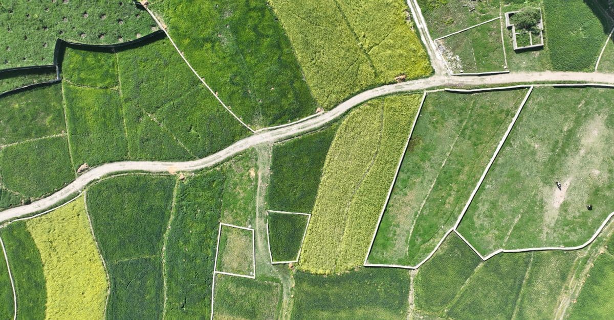
You can systematically design spatial analysis workflows that integrate vector data (zoning boundaries, infrastructure networks, parcel geometries) with raster datasets (elevation models, land use classifications, accessibility surfaces). The skill provides validation protocols to identify data resolution conflicts, projection misalignments, overlay logic errors, and output specification issues before analysis execution. You'll communicate complete analysis specifications to technical teams and stakeholders with confidence that the workflow methodology is sound.

This skill structures your conditional use permit analysis to ensure legally defensible findings and consistent decision-making across your jurisdiction. You'll evaluate applications against specific approval criteria, identify required mitigations and conditions with justifiable nexus to impacts, and generate comprehensive staff reports that document your discretionary reasoning and withstand appeals.

You can review and verify nautical and aeronautical chart proofs, validate spatial data accuracy against source materials, analyze symbol placement for standards compliance, and identify cartographic errors before publication. The skill provides structured analysis frameworks to catch discrepancies between chart layers, interpret complex features like traffic separation schemes and airspace boundaries, and document quality assurance findings for correction tracking.