


Multispectral Change Detection Analysis for Urban Planning
Detect and quantify urban land-use changes from multispectral satellite imagery

What You Can Do
You can process multispectral satellite imagery time-series to detect meaningful shifts in urban landscapes—vegetation loss, built-up area expansion, water body changes, and impervious surface growth. Claude helps you interpret spectral signatures, validate change detection against ground truth, and convert raw remote sensing data into actionable planning recommendations that non-technical stakeholders can understand and act on.
Features
Interpret NDVI, NDBI, NDMI indices to classify vegetation, built infrastructure, and water bodies across time periods
Identify pixel-level transitions between land-use categories (green space → concrete, natural water → developed) with confidence metrics
Calculate area changes, sprawl rates, and expansion patterns across 5–20 year assessment periods
Flag encroachment into buffer zones or conservation areas with spatial extent and severity ranking
Detect post-event land-cover shifts (flooding, wildfire) and track recovery trajectories
Correlate impervious surface expansion with urban thermal anomalies for resilience planning
Generate visual summaries, change matrices, and non-technical briefing documents for decision-makers
Example Output
Example 1: Urban Sprawl Assessment (2005–2025)
- Built-up area expansion: 8,420 hectares (+34% over 20 years)
- Vegetation loss: 2,150 hectares in peri-urban zones
- Encroachment into 450-meter buffer zone: 85 hectares
- Confidence: 92% (validated against 15 ground-truth survey points)
Example 2: Post-Flood Recovery Tracking
- Inundated area (week 1): 1,240 hectares
- Recovery to pre-flood NDVI: 89% by month 6
- Permanent land-use shifts: 45 hectares converted to water retention
Example 3: Green Infrastructure Impact
- Tree canopy gain: +340 hectares over 3 years in pilot district
- Heat island reduction: 1.2°C mean decrease in vegetated zones
- Stakeholder summary: Visual timeline showing before/after street-tree coverage
What's Included
- SKILL.md instruction file: Complete workflow for multispectral analysis, index selection, and change validation
- Change detection matrix template: Pre-built spreadsheet for documenting land-use transitions and confidence levels
- Spectral index reference guide: NDVI, NDBI, NDMI, NDWI formulas and threshold values for urban classification
- Ground-truth validation checklist: Protocol for field surveys and satellite-to-reality accuracy assessment
- Stakeholder briefing template: Executive summary and visual communication framework for planning boards
Who It's For
- GIS Analysts — Operationalize multispectral analysis workflows without proprietary software licensing
- Urban Planners — Monitor comprehensive plan implementation and sprawl trends with quantified metrics
- Environmental Consultants — Support EIA land-cover assessments and post-project impact monitoring
- Municipal Planning Departments — Track zoning compliance and growth boundary enforcement
- Disaster Recovery Coordinators — Assess and communicate land-cover damage and recovery trajectories
Best For
- Urban sprawl and growth boundary analysis over multi-year periods
- Protected area encroachment detection and enforcement support
- Post-disaster land-cover impact and recovery tracking
- Green infrastructure and tree-canopy program effectiveness evaluation
- Seasonal water body and watershed change monitoring for flood/drought planning
You might also like

Transform violation complaints and site inspection data into standardized, defensible enforcement documentation. You can rapidly assess violation severity, establish reasonable remediation timelines, prioritize enforcement actions across multiple violations, and generate compliance agreements that protect jurisdictional authority. The skill structures your analysis to create documentation suitable for both negotiated compliance and formal enforcement proceedings.
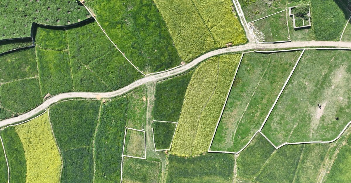
You can systematically design spatial analysis workflows that integrate vector data (zoning boundaries, infrastructure networks, parcel geometries) with raster datasets (elevation models, land use classifications, accessibility surfaces). The skill provides validation protocols to identify data resolution conflicts, projection misalignments, overlay logic errors, and output specification issues before analysis execution. You'll communicate complete analysis specifications to technical teams and stakeholders with confidence that the workflow methodology is sound.

You can analyze reported or observed zoning violations using a structured assessment framework that matches conditions to specific municipal code sections, scores violations by enforcement priority, and generates violation notices with correct legal citations and remediation language. This skill helps you build case files with evidence documentation that meets discovery standards and prepares you to defend enforcement decisions during administrative hearings or appeals.
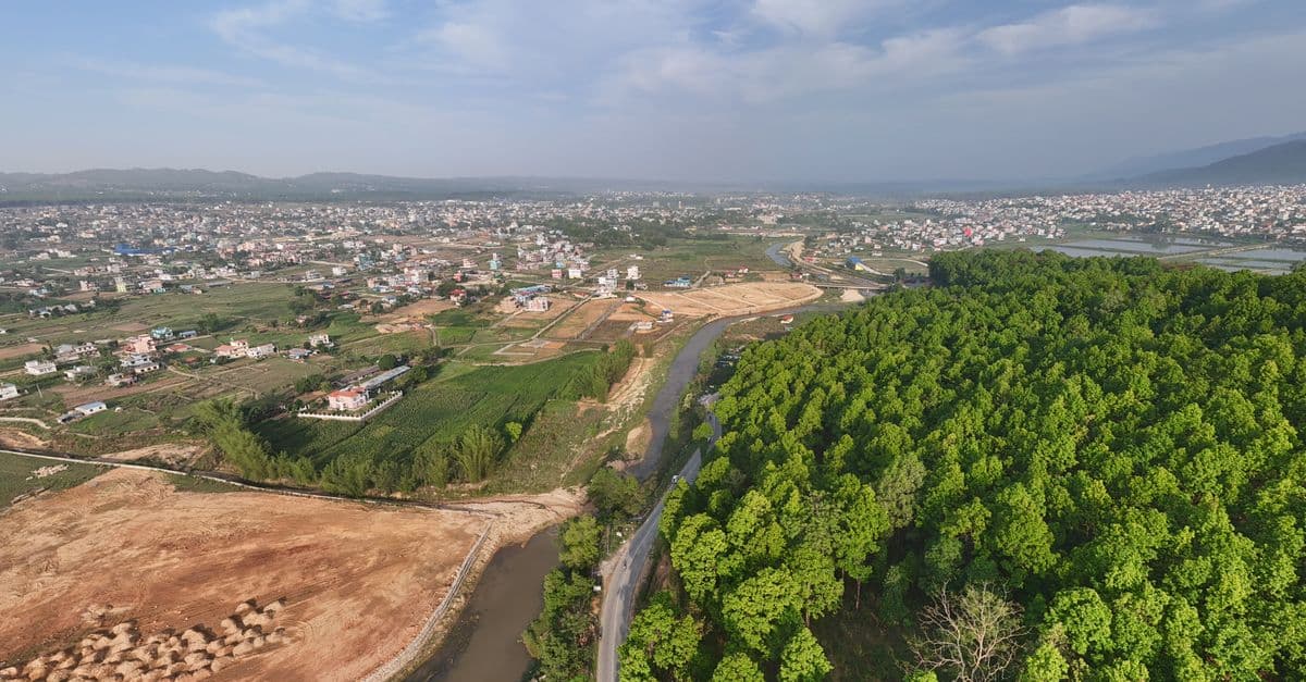
You can conduct comprehensive land use compatibility assessments that identify vertical and horizontal conflicts between proposed developments and surrounding uses. The skill helps you evaluate zoning compliance, assess adjacency impacts, document regulatory alignment, and develop evidence-based mitigation strategies that withstand planning commission and city council scrutiny.

Conduct rigorous corridor-level capacity assessments that balance competing modal demands within constrained right-of-way. You analyze existing conditions across all transportation modes, identify true capacity constraints versus perceived limitations, and generate defensible recommendations for modal reallocation—all grounded in traffic engineering principles, transit operations data, and urban design standards. This skill moves beyond single-mode optimization to deliver integrated corridor function recommendations that stakeholders can act upon.

This skill structures the variance analysis process to ensure consistency, reduce bias, and create audit trails that justify approvals or denials based on established legal standards. You'll generate comprehensive reports that document substantial difficulty claims, unique circumstances, hardship justifications, and condition frameworks that withstand administrative review and potential legal challenge.

This skill structures your conditional use permit analysis to ensure legally defensible findings and consistent decision-making across your jurisdiction. You'll evaluate applications against specific approval criteria, identify required mitigations and conditions with justifiable nexus to impacts, and generate comprehensive staff reports that document your discretionary reasoning and withstand appeals.

You can review and verify nautical and aeronautical chart proofs, validate spatial data accuracy against source materials, analyze symbol placement for standards compliance, and identify cartographic errors before publication. The skill provides structured analysis frameworks to catch discrepancies between chart layers, interpret complex features like traffic separation schemes and airspace boundaries, and document quality assurance findings for correction tracking.