


Cartographic Design Assistant for GIS Analysts
Generate production-ready cartographic specifications and legend designs for GIS projects

What You Can Do
You can rapidly develop detailed cartographic specifications that bridge GIS analysis and finished map products. This skill generates production-ready legend designs for complex datasets, establishes symbol libraries and styling standards, and ensures WCAG 2.1 AA compliance in color selection and symbol differentiation. You'll produce documented map element hierarchies, visual emphasis strategies, and multi-panel composition guidelines that maintain consistency across projects.
Features
creates semantic, hierarchical legend layouts for choropleth, categorical, and proportional symbol maps with symbol specifications
produces detailed style guides including symbol libraries, color palettes, typography rules, and visual hierarchy standards
ensures designs meet WCAG 2.1 AA standards through color contrast analysis, symbol differentiation, and alt-text requirements
develops multi-panel and faceted map layouts with clear element hierarchies and visual emphasis strategies
generates organizational symbol libraries with consistent styling rules for data-driven cartography across themes
evaluates existing maps against industry standards and provides specific remediation recommendations
converts qualitative mapping requests into concrete visual design decisions and technical specifications
creates publication-ready reference documents for reproducible cartographic output across teams
Example Output
Legend Design Output:
- Choropleth classification scheme with 5-class natural breaks, specific RGB values (#E8F4F8, #B3D9E8, #7DB8D6, #4A90C6, #1A5490), and label descriptions
- Legend layout diagram showing optimal placement in map margins with typography specifications (12pt sans-serif for labels, 10pt for values)
Cartographic Specification Example:
- Point symbol standards: Park = 8px green circle, Hospital = 10px red plus-sign, School = 6px blue square
- Color contrast ratios verified (4.5:1 minimum for text, 3:1 for graphics) with WCAG compliance checkmarks
- Line weight specifications: Major roads = 2px, Minor roads = 1px, County boundaries = 1.5px dashed
Multi-panel Composition:
- Overview map (1:250,000) positioned upper-left with inset locator map (1:5,000,000) at 15% scale in corner
- Thematic detail map (1:50,000) occupies 60% of composition with consistent legend and scale bar
What's Included
- SKILL.md instruction file with cartographic design workflow and best practices:
- Cartographic Specification Template: detailed framework for documenting symbols, colors, typography, and visual hierarchy
- Legend Design Checklist: quality assurance checklist for semantic clarity, accessibility, and visual balance
- Accessibility Compliance Guide: WCAG 2.1 AA standards reference with color contrast tools and symbol differentiation requirements
- Multi-Panel Composition Framework: layout templates for insets, overviews, thematic detail maps, and faceted designs
Who It's For
- GIS analysts and cartographers designing publication-ready maps for government agencies, municipalities, and planning departments
- Urban planners developing comprehensive plan maps, zoning maps, and infrastructure master plans
- Environmental/natural resource managers creating thematic maps for conservation, land management, and environmental assessment
- Survey and design firms producing cartographic products for client deliverables requiring design standards and accessibility compliance
- Government communications teams ensuring maps meet accessibility requirements for public-facing reports and web portals
Best For
- Creating cartographic style guides and symbol libraries for organizational consistency across multiple map products
- Designing legend layouts for complex multivariate datasets with appropriate classification schemes and visual hierarchy
- Ensuring WCAG 2.1 AA accessibility compliance in color selection, symbol differentiation, and alt-text specifications
- Developing multi-panel map compositions with clear visual emphasis and element hierarchies for print and digital publication
- Translating client requirements and stakeholder feedback into detailed, documented design specifications for production teams
You might also like

You can review and verify nautical and aeronautical chart proofs, validate spatial data accuracy against source materials, analyze symbol placement for standards compliance, and identify cartographic errors before publication. The skill provides structured analysis frameworks to catch discrepancies between chart layers, interpret complex features like traffic separation schemes and airspace boundaries, and document quality assurance findings for correction tracking.

Transform violation complaints and site inspection data into standardized, defensible enforcement documentation. You can rapidly assess violation severity, establish reasonable remediation timelines, prioritize enforcement actions across multiple violations, and generate compliance agreements that protect jurisdictional authority. The skill structures your analysis to create documentation suitable for both negotiated compliance and formal enforcement proceedings.

You can analyze reported or observed zoning violations using a structured assessment framework that matches conditions to specific municipal code sections, scores violations by enforcement priority, and generates violation notices with correct legal citations and remediation language. This skill helps you build case files with evidence documentation that meets discovery standards and prepares you to defend enforcement decisions during administrative hearings or appeals.

You can submit draft charts, survey data, or revision proposals to Claude for structured compliance analysis against IHO and ICAO standards. Claude identifies hydrographic hazards, airspace conflicts, symbol inconsistencies, and data gaps—then documents findings with decision rationale for regulatory submissions. This skill accelerates your analytical review phase without replacing specialized charting software or professional judgment.
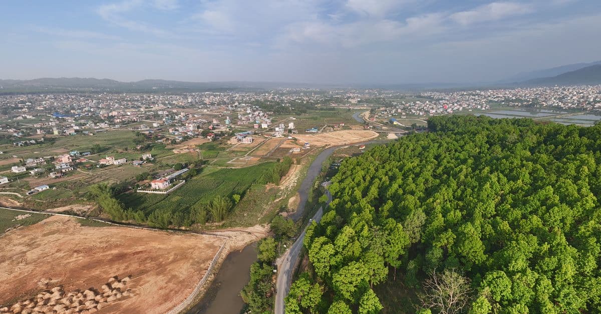
You can conduct comprehensive land use compatibility assessments that identify vertical and horizontal conflicts between proposed developments and surrounding uses. The skill helps you evaluate zoning compliance, assess adjacency impacts, document regulatory alignment, and develop evidence-based mitigation strategies that withstand planning commission and city council scrutiny.

Conduct rigorous corridor-level capacity assessments that balance competing modal demands within constrained right-of-way. You analyze existing conditions across all transportation modes, identify true capacity constraints versus perceived limitations, and generate defensible recommendations for modal reallocation—all grounded in traffic engineering principles, transit operations data, and urban design standards. This skill moves beyond single-mode optimization to deliver integrated corridor function recommendations that stakeholders can act upon.

Systematically evaluate environmental impacts across multiple resource areas using structured analytical frameworks aligned with NEPA context-and-intensity factors and CEQA significance criteria. You'll develop quantifiable or qualitative evidence supporting significance determinations, create legally defensible mitigation measures that withstand scrutiny, and produce consistent documentation that meets regulatory standards and addresses case law precedents. This ensures your impact analysis maintains analytical rigor while remaining defensible against agency comments and potential legal challenges.

You can systematically structure environmental assessments from project scoping through mitigation hierarchy application. This skill helps you organize baseline environmental data, develop significance determinations, create defensible alternatives analyses, and craft implementable mitigation measures that satisfy agency expectations and withstand public scrutiny. It streamlines the entire NEPA/CEQA lifecycle while reducing legal challenge risk.