


Urban Site Analysis & Synthesis for Landscape Design
Analyze urban sites across environmental, social, and infrastructural dimensions for landscape de...
What You Can Do
You can transform raw site information into actionable design intelligence by analyzing environmental conditions, social dynamics, regulatory frameworks, and infrastructure interdependencies. Claude helps you identify hidden conflicts between programmatic goals and site constraints, synthesize input from multiple consultants, and produce stakeholder-comprehensible formats that establish defensible design rationales for client presentations.
Features
systematically examine microclimate, pedestrian patterns, regulatory frameworks, demographics, and infrastructure simultaneously
visualize conflicts and synergies between environmental, social, and infrastructural layers to inform design decisions
identify design interventions that address multiple site conditions and stakeholder needs simultaneously
reveal how stormwater policy intersects with accessibility standards, how gentrification pressure affects plant selection, and how transit corridors create microclimatic conditions
translate complex site conditions into clear, evidence-based briefs that justify material and planting selections
conduct competitive analysis or comparative studies across multiple urban sites
consolidate information from civil engineers, traffic consultants, ecologists, and structural engineers into coherent design frameworks
Example Output
Constraint Map Output:
- Environmental Layer: High urban heat island effect (5°C above ambient), limited pervious surface (12%), stormwater combined sewer overflow risk
- Social Layer: Mixed-income neighborhood with aging population, youth recreation deficit, informal gathering spaces along building edges
- Infrastructure Layer: Narrow sidewalk (8ft), underground utilities (gas, water, electrical, fiber), bus rapid transit stop proximity
- Key Interdependency: Transit accessibility conflicts with current 15ft setback requirement; green infrastructure placement must accommodate utility vaults
Design Brief Excerpt: "This 0.8-acre site requires interventions that simultaneously reduce local heat island effect, provide accessible social gathering space, and manage stormwater while respecting utility constraints. Native tree canopy (40% coverage target) addresses microclimate while improving pedestrian shade. Permeable paving near BRT stop connects to broader transit accessibility network."
Opportunity Matrix Example:
| Intervention | Heat Island | Stormwater | Accessibility | Community Building |
|---|---|---|---|---|
| Shade tree canopy | ✓✓ | ✓ | ✓ | ✓ |
| Permeable paving | ✓ | ✓✓ | ✓ | — |
| Seating zones | — | — | ✓ | ✓✓ |
What's Included
- SKILL.md instruction file: complete site analysis methodology and synthesis protocols
- Multi-layer analysis template: structured worksheets for environmental, social, infrastructural, and regulatory data collection
- Constraint mapping framework: systematic approach to identifying and visualizing conflicts between design drivers
- Design brief authoring checklist: evidence-based structure for translating site analysis into client-facing documentation
- Comparative site assessment matrix: competitive analysis structure for multi-site evaluations
Who It's For
- Landscape architects beginning new urban projects or master planning initiatives
- Urban designers synthesizing input from multi-disciplinary consultant teams
- Landscape firms preparing client presentations with evidence-based design rationales
- Architects integrating landscape requirements into mixed-use or civic projects
- Planning departments conducting site inventory for public space interventions
Best For
- New project site analysis and design brief development
- Stakeholder-comprehensible synthesis of complex site conditions
- Identifying hidden conflicts between programmatic goals and site constraints
- Evidence-based justification for material and planting selections
- Comparative analysis across multiple urban sites for competitive positioning
- Master planning and environmental assessment preparation
You might also like

You can rapidly develop evidence-based facility programs that account for regulatory compliance, infection control protocols, clinical adjacencies, and operational workflows. The skill translates stakeholder needs into detailed space requirement matrices, validates departmental layouts against FGI Guidelines and building codes, and analyzes clinical workflow to inform spatial adjacencies—preventing costly post-construction redesigns and ensuring buildings support clinical operations.
 by agenmod
You can develop consistent, broadcast-quality color grades across entire projects using proven workflows and Lumetri techniques. Claude guides you through color theory fundamentals, helps you build custom looks, and provides step-by-step workflows for matching grades across multicam footage and complex timelines. Whether you're correcting skin tones, creating cinematic looks, or maintaining color consistency across episodes, this skill transforms your grading process from guesswork to systematic mastery.
by agenmod
You can quantify embodied carbon at any project phase—from concept through specification—using verified LCA boundaries and industry databases. Claude helps you compare material alternatives numerically (steel vs. CLT, concrete vs. timber), identify which assemblies drive the highest emissions, and generate defensible carbon reports for green building certifications. Since embodied carbon is locked in at design time, this systematic approach ensures your material choices align with net-zero targets before construction.
by agenmod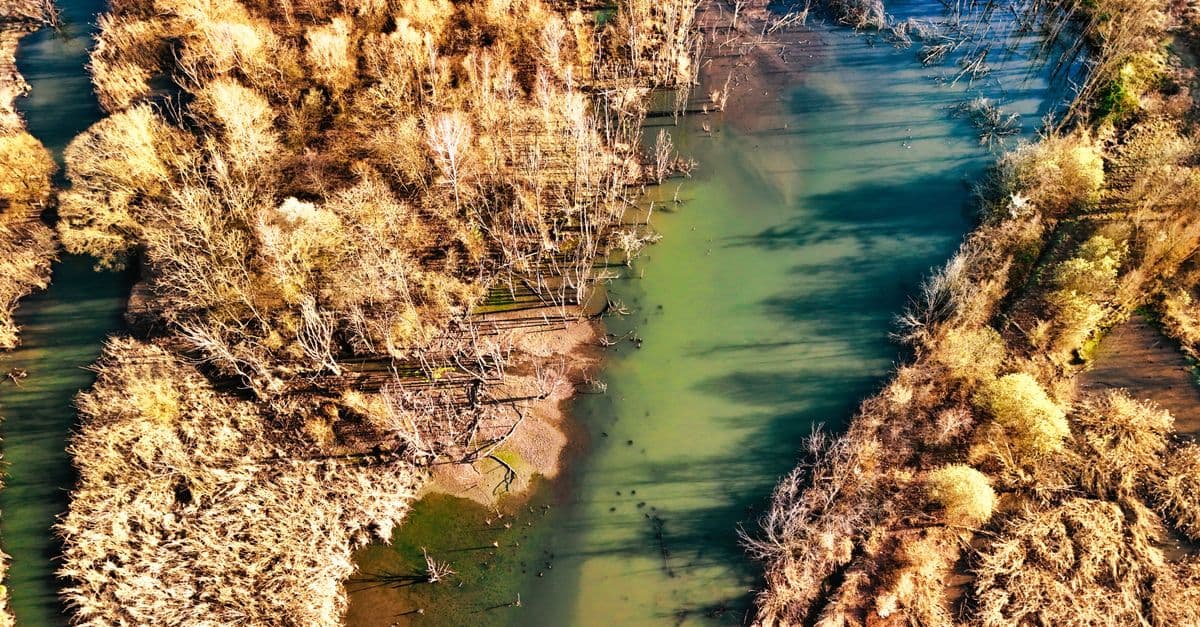
You can analyze degraded stream channels and riparian corridors to identify specific hydromorphic and ecological dysfunction, then design integrated restoration solutions that address root causes while meeting engineering and ecological performance standards. Claude helps you model post-restoration hydraulic behavior, sediment transport, and vegetation establishment sequences aligned with hydromorphic conditions, generating detailed civil and ecological specifications ready for implementation and adaptive management.
by agenmod
You can conduct comprehensive streetscape evaluations that assess design quality across multiple dimensions—pedestrian comfort, accessibility compliance, safety perception, retail vibrancy, and social equity. The skill generates actionable recommendations grounded in NACTO standards, Complete Streets principles, and pedestrian behavior research, helping you move beyond subjective critique toward measurable, defensible design decisions.
by agenmod
You can conduct systematic compliance reviews of residential designs by analyzing them against local building codes, zoning ordinances, and accessibility standards. Claude interprets complex code language, identifies design conflicts, and recommends corrections—all documented for permitting submissions and plan review responses. This skill helps you catch violations before formal review, reducing costly redesigns and accelerating project approvals.
by agenmod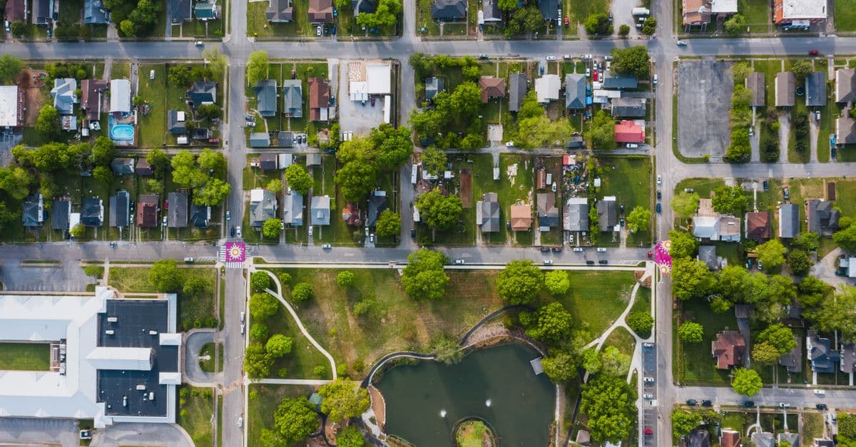
Systematically audit existing streetscape conditions and produce comprehensive assessment reports that identify design opportunities and constraints. You can analyze pedestrian experience, accessibility compliance, safety conditions, and activation potential, then translate findings into prioritized recommendations with professional documentation suitable for municipal reports, design competitions, and stakeholder presentations.
by agenmod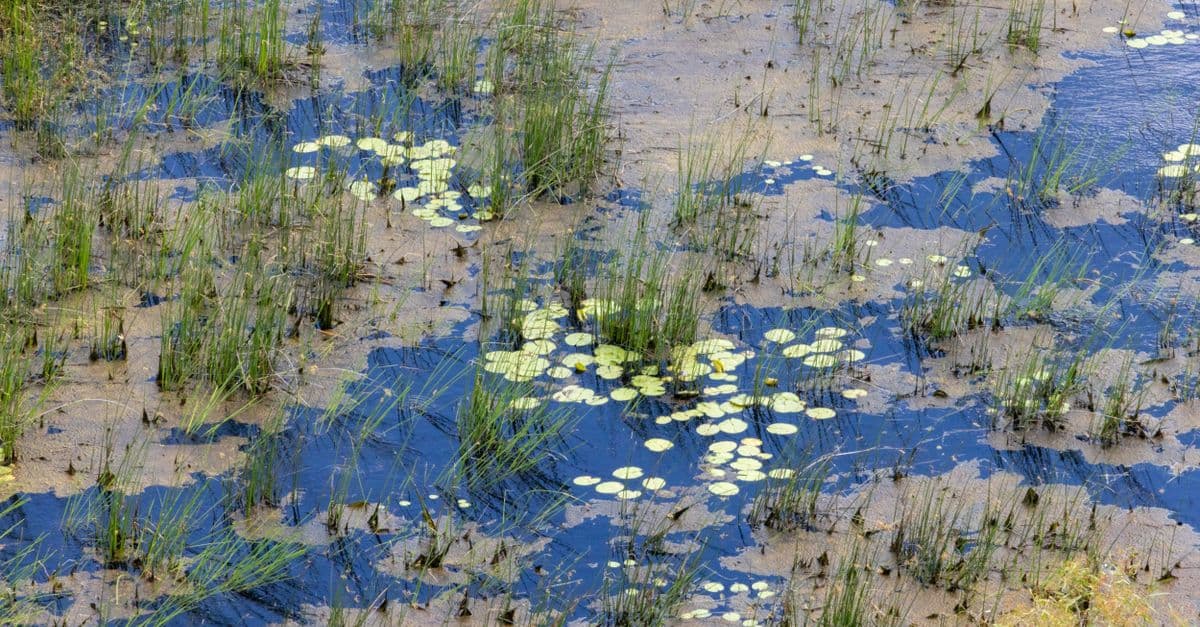
You can conduct comprehensive wetland assessments that synthesize hydrology analysis, soil characterization, and vegetation surveys into actionable restoration designs. This skill generates permit-ready documentation including phased restoration plans, native plant community designs, hydrologic feasibility assessments, and success monitoring protocols that balance ecological recovery with regulatory compliance and budget constraints.
by agenmod